Vizrt Offers New Service for ‘FirstLook’ at Satellite Imagery of Breaking News
posted:
As the name implies, Vizrt customers will get a “first look” at any digital satellite imagery captured by one of DigitalGlobe’s three commercial satellites. When an event happens globally, DigitalGlobe activates the service by tasking their constellation of satellites to the event location, taking new high-resolution images. Within hours these images are available to all DigitalGlobe Online customers with the option to purchase. Customers are sent notifications from Vizrt when an event collection is activated and can preview the collected content to decide if they want to purchase them.
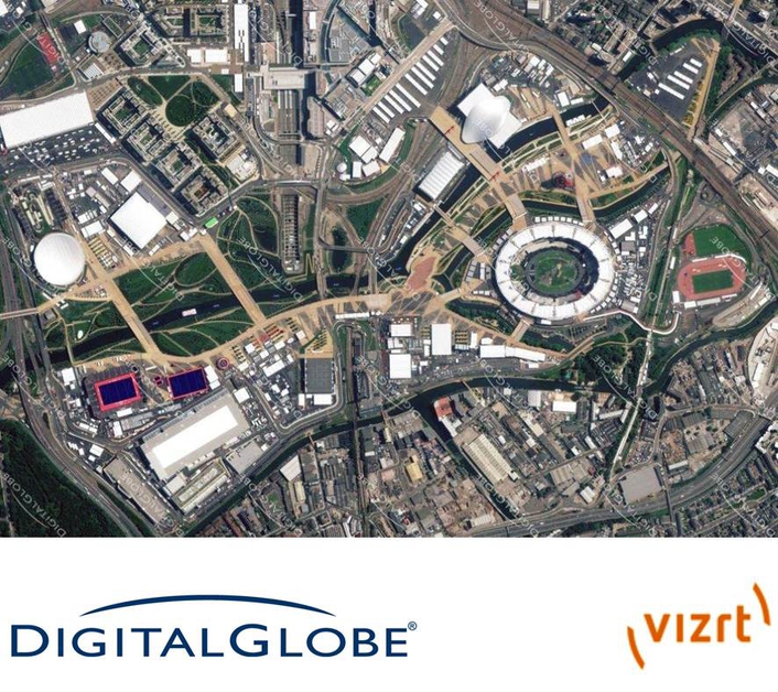
Upon launch, the service was providing Vizrt’s DigitalGlobe Online customers with new images from the Olympics, a Typhoon in the Northwest Pacific and images from the Hungarian Grand Prix. Customers could also find images for older stories such as mudslides in Japan, wildfires in the American west and images from the civil unrest in Syria.
advertisment
From within Vizrt systems—such as Viz World for branded, animated, template-based maps; Viz Trio for live graphics creation; Viz Weather; and Viz Artist for graphics and template design—customers can use search, purchase, and incorporate FirstLook images into their own content.
Using Viz World 12.0’s map editing tools, including zoom, crop, pan, trim, or label, Vizrt artists can manipulate FirstLook satellite imagery to create animated maps. They can also string together images that DigitalGlobe satellites captured before, during, and after an event to show how the situation progressed over time.
advertisment
“With the launch of FirstLook into the Vizrt portfolio, we’re pleased to expand our relationship and partnership with DigitalGlobe,” said Petter Ole Jakobsen, CTO of Vizrt. “Not only is DigitalGlobe’s massive online library of satellite imagery accessible to our customers, FirstLook is now available providing a brand new service that addresses the need to show breaking news events as they unfold around the world.”
“Our collaboration with Vizrt is a natural fit for DigitalGlobe because television broadcasters are a primary market for our high-resolution digital satellite imagery,” said Andrea Bersan, international vice president at DigitalGlobe “Being first to air with valuable content is a key objective for any competitive broadcast news organization. For reports on perilous events, like a nuclear power plant accident or tsunami, FirstLook can give everyone a birds-eye view from the safety of an orbiting satellite.”
Sign up for FirstLook alerts and read the EULA.
advertisment
About DigitalGlobe
DigitalGlobe is a leading global provider of commercial high-resolution earth imagery products and services for a wide range of applications including defense, civil agencies, mapping and analysis, environmental monitoring, oil and gas exploration, and Internet technology. Satellite imagery is captured by three satellites, including WorldView 1, WorldView 2, and WorldView 3, and the company plans to launch a fourth satellite in mid-2014. DigitalGlobe’s comprehensive ImageLibrary contains more than 2.5 billion square kilometers of earth imagery, with 2.5 million square kilometers of new imagery added each day.
About Vizrt
Vizrt offers a new vision for content creation and delivery with an end-to-end solution from ingest to visualization. Our solution combines Vizrt’s true 2D/3D graphics tools with Curious Software’s World Maps and Ardendo’s Asset Management. Running on non proprietary software, the combination of these unique cutting edge products ensures a seamless workflow from conception to multi-format distribution.Vizrt’s product suite is used by the world’s leading broadcasters including: CNN, CBS, Fox, BBC, Sky, ITN, ZDF, Star TV, TV Today, CCTV and NHK. Also, many world-class production houses and corporate institutions, including both the New York and London Stock Exchanges, utilize Vizrt solutions.


